도입이 처음이신가요?
ORBRO 전문가가 직접 상황을 분석하고
최적의 솔루션을 제안해드립니다.

Indoor GPS Solution

What is Indoor GPS?
Indoor GPS is a system that measures the location of objects moving indoors. It allows real-time tracking of the positions of people and objects. GPS is primarily used outdoors and relies on satellite signals for accurate location determination. However, indoors, GPS signals often weaken or get blocked, making precise indoor tracking challenging.
Indoor GPS Technology
To overcome these limitations, indoor GPS utilizes various technologies. One of the key technologies is Ultra-Wideband (UWB) technology. UWB uses a very wide bandwidth for precise location measurement in indoor environments. It can provide accurate location data within buildings using UWB tags and receivers. Additionally, AI (Artificial Intelligence) cameras can be used to recognize objects indoors and perform location tracking based on that information. AI cameras analyze images or videos to identify objects and their positions.
UWB
Ultra-Wideband (UWB) technology is a key technology used for implementing indoor GPS. UWB uses an extremely wide bandwidth to generate a large number of signals in a very short time. This wide bandwidth enables precise time and distance measurements, which are essential for accurate indoor location tracking. Here are the main features of UWB technology and its implementation for indoor GPS:
• 매우 넓은 대역폭 (Ultra-Wideband): UWB 기술은 매우 넓은 대역폭을 사용하여 매우 짧은 시간 동안 많은 신호를 발생합니다. 이러한 대역폭은 정확한 시간 및 거리 측정을 가능하게 합니다.
• 태그와 수신기: UWB 기술을 사용한 실내 GPS 시스템은 주로 "태그"와 "수신기"로 구성됩니다. 태그는 물체, 사람 또는 동물에 부착되며 UWB 신호를 발생합니다. 수신기는 이 신호를 수신하고 처리하여 위치를 계산합니다.
• 시간-차이-신호 (Time-of-Flight, ToF) 측정: UWB 시스템은 태그에서 발생한 신호가 수신기에 도달하는 데 걸린 시간을 정밀하게 측정합니다. 이를 통해 실내 공간에서 두 장치 사이의 거리를 계산합니다. 다수의 수신기가 사용되면, 실내에서 객체의 위치를 3차원으로 계산할 수 있습니다.
• 실시간 위치 추적: UWB를 사용한 시스템은 빠르고 정확한 위치 추적을 지원하므로 실시간 위치 데이터를 제공할 수 있습니다. 이것은 실내 환경에서 실시간으로 물체 또는 사람의 위치를 추적하는 데 매우 유용합니다.
AI Camera
AI cameras are camera systems that use artificial intelligence technology to analyze image data and perform various tasks based on that analysis. The operation of AI cameras involves the following steps:
• 영상 수집: AI 카메라는 환경에서 비디오 또는 이미지를 캡처합니다. 이를 위해 렌즈, 이미지 센서 및 기타 하드웨어 구성 요소를 사용합니다. 환경에서 수집한 영상은 디지털 이미지로 변환됩니다.
• 데이터 전처리: 수집한 영상 데이터는 전처리 과정을 거쳐 최적화됩니다. 이 단계에서는 영상의 해상도 조정, 노이즈 제거, 색상 보정 등의 처리가 수행됩니다.
• 특징 추출: AI 카메라는 영상 데이터에서 중요한 특징을 추출합니다. 이 특징들은 물체, 얼굴, 움직임 등과 관련된 정보를 포함합니다. 특징 추출은 주로 컴퓨터 비전 알고리즘을 사용하여 이루어집니다.
• 딥 러닝 모델 적용: AI 카메라는 딥 러닝 기술을 사용하여 추출한 특징을 심층 신경망 모델에 입력합니다. 이 모델은 훈련된 상태에서 입력된 데이터를 분석하고 판단하는 역할을 합니다. 딥 러닝 모델은 실시간으로 식별, 분류, 추적 및 예측을 수행할 수 있습니다.
• 분석 및 판단: AI 카메라는 딥 러닝 모델을 사용하여 분석 및 판단을 수행합니다. 예를 들어, 얼굴 인식 시스템은 얼굴을 식별하고 얼굴 특징을 추출하여 해당 얼굴의 신원을 확인할 수 있습니다. 또한 물체 추적 시스템은 물체의 위치를 실시간으로 감지하고 추적할 수 있습니다.
• 결과 출력: AI 카메라는 분석 및 판단 결과를 출력 형식으로 제공합니다. 이 결과는 다양한 형태로 표시될 수 있으며, 주로 사용자 또는 연결된 시스템에 정보를 전달합니다.
Differences from Conventional GPS
There are several important differences between indoor GPS and conventional GPS (outdoor GPS). These differences stem from the fact that GPS systems are primarily optimized for outdoor use, making accurate indoor tracking challenging. Here are the key differences between indoor GPS and conventional GPS:
Signal Strength and Obstruction
• 실외 GPS: 일반 GPS는 위성 신호를 사용하여 위치를 결정합니다. 신호는 대기 중에서 자유롭게 전파될 수 있으므로 일반적으로 강도가 높고 건물과 장애물에 의한 차단이 적습니다.
• 실내 GPS: 건물 내부에서는 GPS 신호가 약화되거나 차단될 가능성이 큽니다. 벽, 천장, 바닥, 금속 구조물 등이 GPS 신호를 흐리게 하거나 차단할 수 있습니다.
Satellite Signal Reception
• 실외 GPS: 일반 GPS는 최소한 3개 이상의 위성 신호를 수신하여 위치를 정확하게 파악합니다. 일반적으로 4개 이상의 위성을 사용하는 경우 더 정확한 위치 정보를 제공합니다.
• 실내 GPS: 건물 내부에서는 위성 신호를 적게 받거나 아예 받지 못하는 경우가 많습니다. 이로 인해 정확한 위치 추적이 어려워집니다.
Correction and Enhancement Technologies
• 실내 GPS: 실내에서의 위치 추적을 위해 UWB(Ultra-Wideband), RFID(Radio-Frequency Identification), Wi-Fi, 블루투스, 지상 기반의 위치 추적 시스템 등과 같은 다른 기술이 사용됩니다. 이러한 기술을 결합하여 실내 GPS 시스템을 구현하고 정확도를 향상시킵니다.
Accuracy and Precision
• 실외 GPS: 일반 GPS는 좋은 조건에서 정확도가 1미터 내외로 높을 수 있습니다.
• 실내 GPS: 실내 GPS 시스템은 정밀한 위치 측정을 위해 더 많은 노력이 필요하며, 정확도는 환경, 사용되는 기술 및 구현에 따라 다를 수 있습니다. 일반적으로 더 낮은 정밀도를 가집니다.
Use Cases of Indoor GPS
Indoor GPS technology is utilized in various application areas, enhancing convenience and efficiency. Users can obtain accurate location information even within buildings, improving the convenience and efficiency of related services and applications.
Tracking Product Locations in Shopping Malls
When consumers visit shopping malls, they can use smartphone apps with indoor GPS to find the real-time locations of desired products. This allows consumers to quickly locate the products they want, enhancing their shopping experience, and improving store efficiency.
Tracking Patient Locations in Hospitals
Hospitals can use indoor GPS to track the real-time locations of patients, ensuring the safety of medical staff and patients. For example, medical staff can quickly locate patients and respond to emergencies.
Passenger Guidance in Airports
Large-scale airports utilize indoor GPS to help passengers easily find gates, restaurants, shops, and more. Passengers can use smartphone apps to locate themselves within the airport and access the information they need.
Automation and Robot Control in Factories
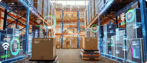
Indoor GPS enables precise tracking of the locations of robots and automation equipment. This optimization of production processes enhances operational efficiency.
Indoor Navigation
Indoor navigation within buildings is useful in places like museums, universities, and complex facilities. Visitors can easily find their destinations within the building, making it easier to explore tourist attractions or educational facilities.
Car Parking Management
Indoor GPS is used to identify vacant parking spaces within parking lots and guide drivers to available spots. This reduces parking times and improves parking lot efficiency.
Conclusion
Indoor GPS is a technology for accurately tracking locations within buildings, utilizing technologies such as UWB and AI cameras. It enhances convenience and efficiency in various use cases, including tracking product locations in shopping malls, tracking patient locations in hospitals, passenger guidance in airports, automation and robot control in factories, indoor navigation, and car parking management. However, there are differences between indoor GPS and conventional GPS in terms of signal strength and obstruction, satellite signal reception, accuracy, and correction technologies. Indoor GPS is primarily specialized for indoor location tracking.
관련 제품
작업자 위치추적 패키지
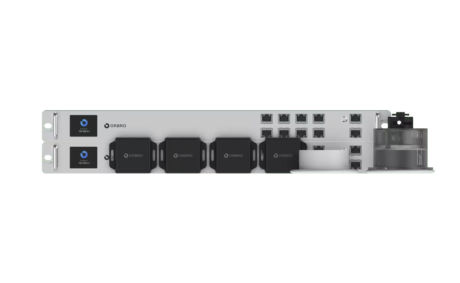
UWB 단말기를 작업자 또는 장비에 부착하여, 실시간으로 위치 추적을 돕는 제품입니다.


오브로 솔루션 소개
공유하기


