Manufacturing Solution
Automated Steel Inventory Counting
Zone-level stock counts and movement records back production planning and shipping decisions. The floor and your business systems work from the same stock data, which cuts duplicate entry.

Recognize coils and plates from cameras and automatically count inventory
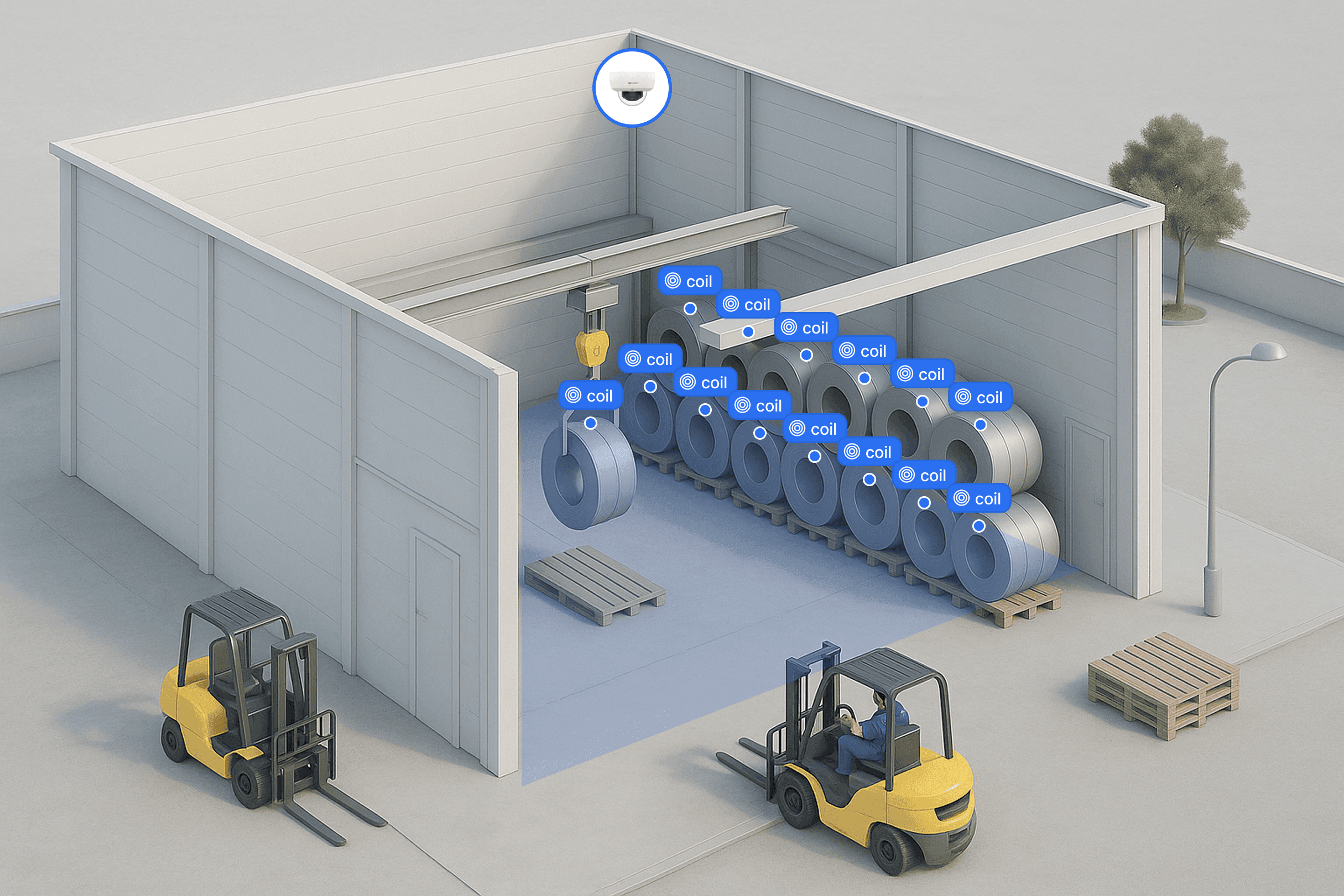
Video of coils and plates from the Dome Camera is analyzed on ORBRO Edge Pro to count quantities by zone. Where forklift or crane position data is connected, equipment movement records are checked alongside stock changes. Count results are passed to the integrated ERP and WMS.
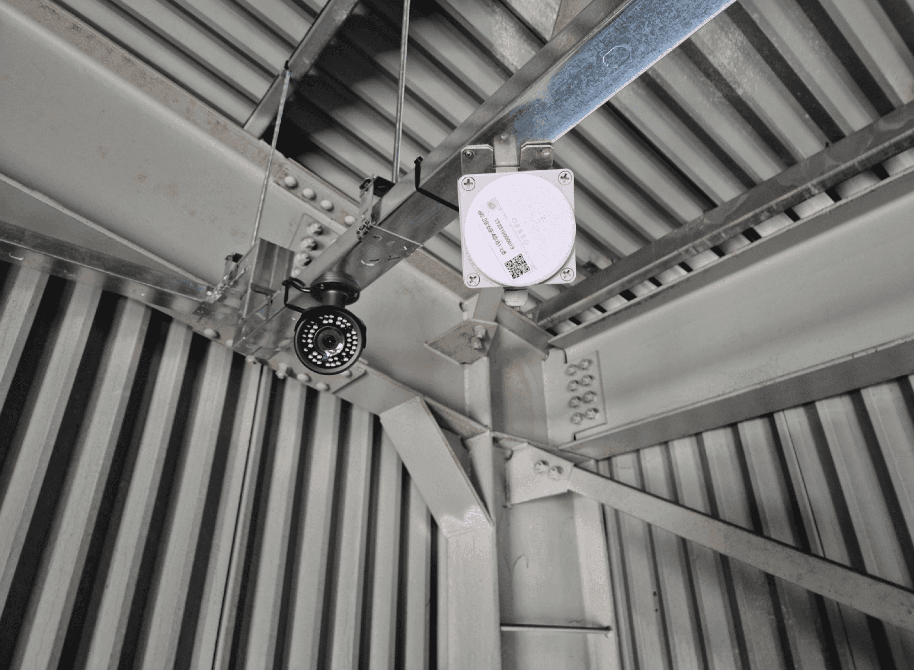
Dome Camera
An IP camera that looks down over the stacking area and forklift aisles to recognize individual assets. Coils and plates are stacked on top of each other, so a downward angle is what separates them one by one. Whether an existing camera can be reused is judged by that angle and the mounting height, and low-light sections have their night recognition verified separately.





Vision-Based Steel Asset Counting
Coils and plates that will not hold a tag because of oiling and rotation are recognized by AI cameras and counted by zone. Video is analyzed on the on-site server, and new asset shapes are added through further training.
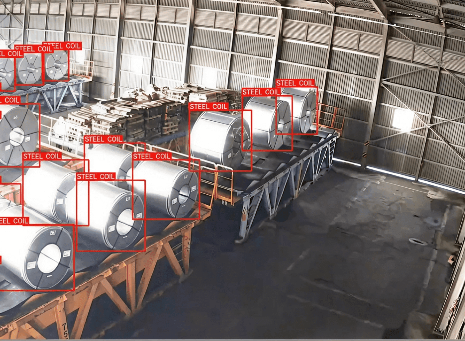
Steel stock counted by stacking zone
Steel coils and plates are identified in Dome Camera video and counted by zone. Stock levels in yards where tagging and scanning each item is impractical appear on the monitoring screen. Stack height and occlusion set the range of what the video can distinguish.
Video analysis on the on-site server
Zone-level stock quantities analyzed on ORBRO Edge Pro are displayed on the monitoring screen. Analysis and storage of video data are centered on the on-site server. What is passed outside is determined by the customer's security policy and integration setup.
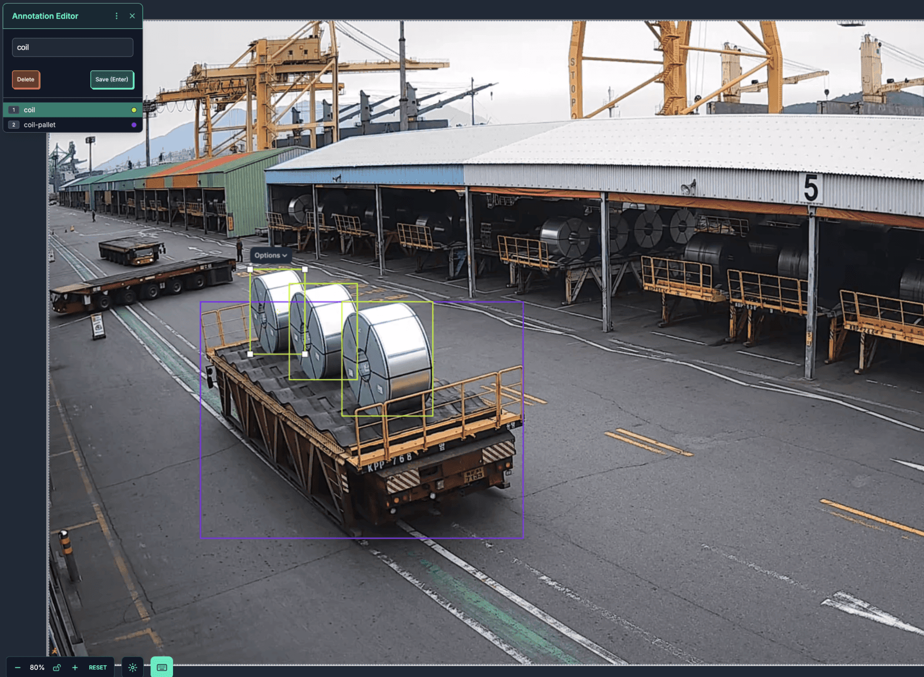
Recognition widened by further training
The asset shapes handled at your site are trained so the range of recognition widens. Major items are trained first and new shapes are added through further training, with training footage collected from the cameras already installed. The result is applied to the on-site server and takes effect from the next footage onward.
Inventory Change Verification
View zone-level quantity changes together with the movement records of linked equipment. Required data is passed to ERP and WMS, which reduces re-entry of stock records.
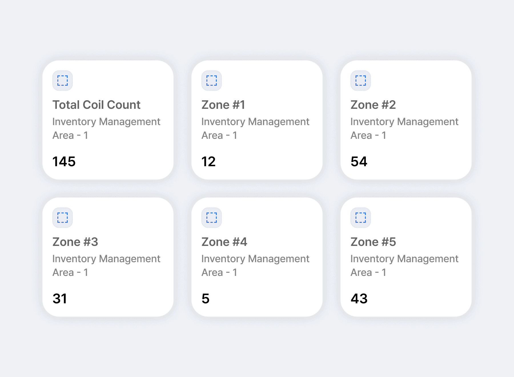
Inventory shown zone by zone
Outdoor yards and indoor warehouses are divided into zones showing current quantities. Operators check which zone holds the items they need and compare stock distribution. Zone boundaries follow actual stacking positions so they match the count units on screen.
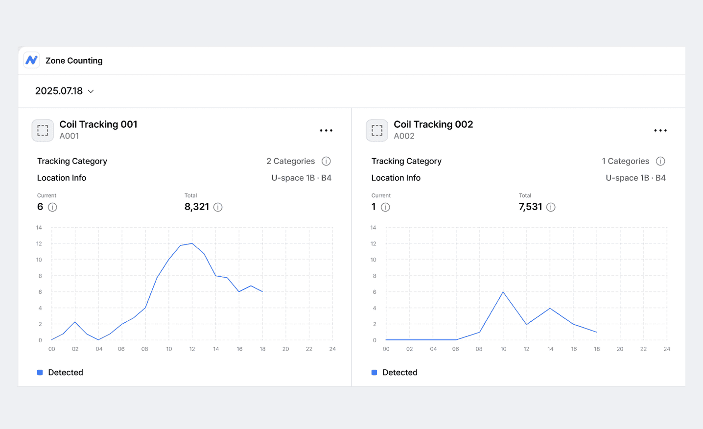
Stock quantity changes by time of day
View how the quantity in each zone changed over time. Comparing the hours when receiving and dispatch peak shows the flow of stock increases and decreases. Quantities at shift change or daily close serve for handover and stock reconciliation.
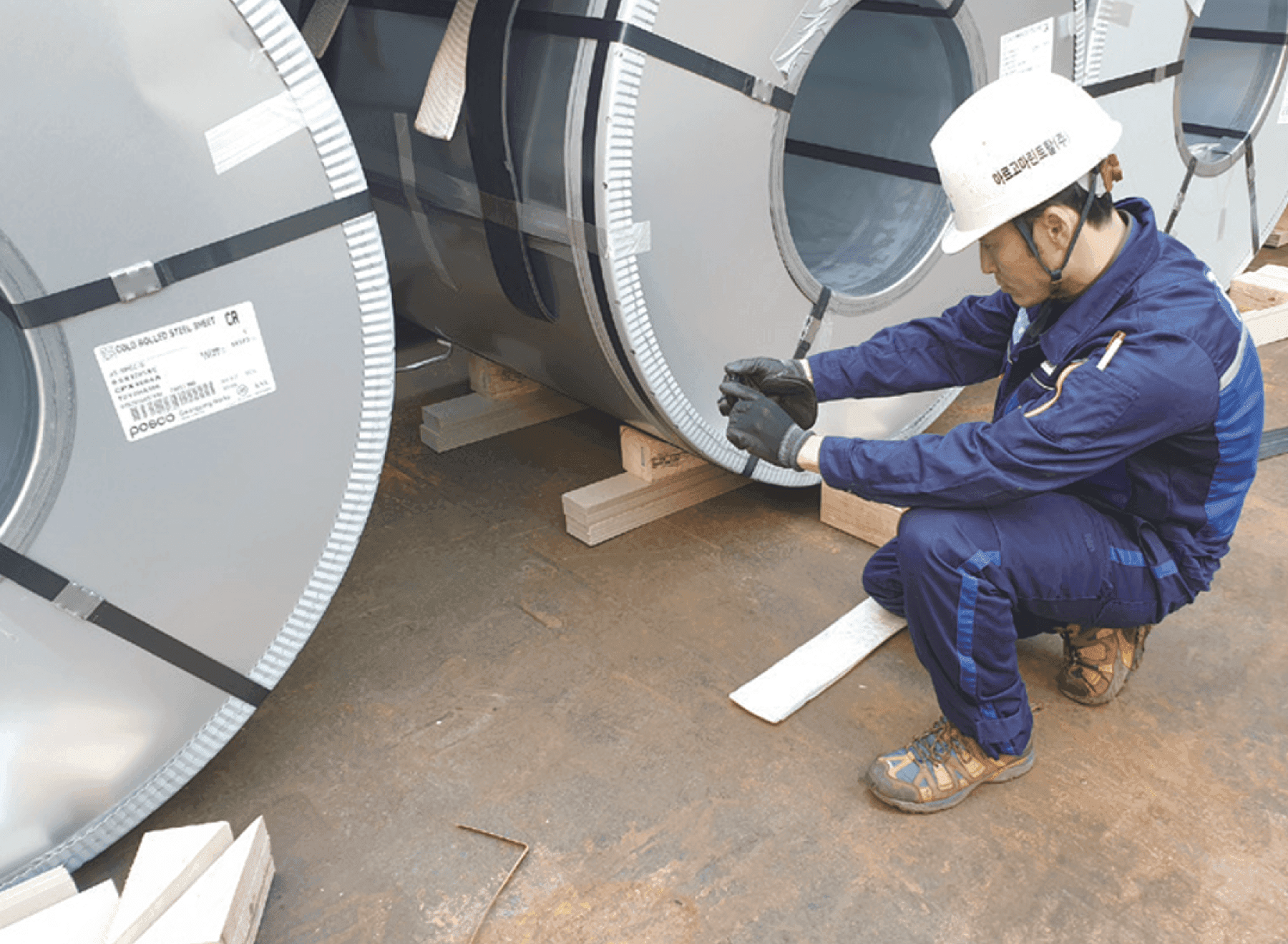
Less manual entry with equipment movement records
Check forklift and crane movement records alongside stock changes by zone. In ORBRO OS, look up the origin and destination zones of each equipment move and compare them with the sections where quantities changed. These records set the scope for stock movement review and on-site verification.
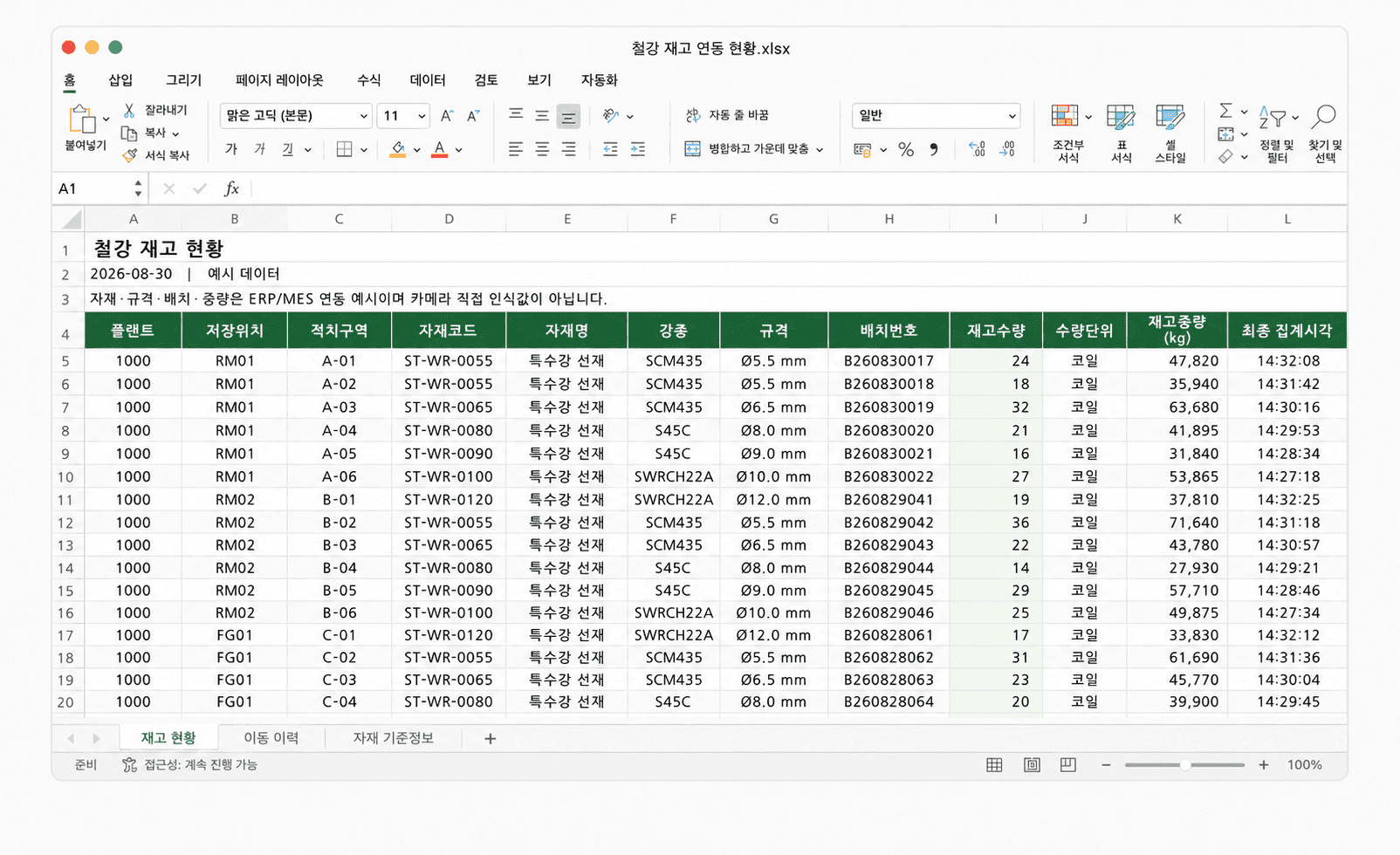
ERP and WMS stock data integration
Counted stock and movement history are passed to ERP and WMS through API. The same data can be downloaded as CSV for stock reconciliation and reporting. Integrated fields and transfer intervals are set to the data specification of the target system.
Recommended Products
Components Based on ORBRO OS
Each solution operates with various products connected on top of ORBRO OS. Configurations can be flexibly adjusted depending on the scope of application and on-site conditions.
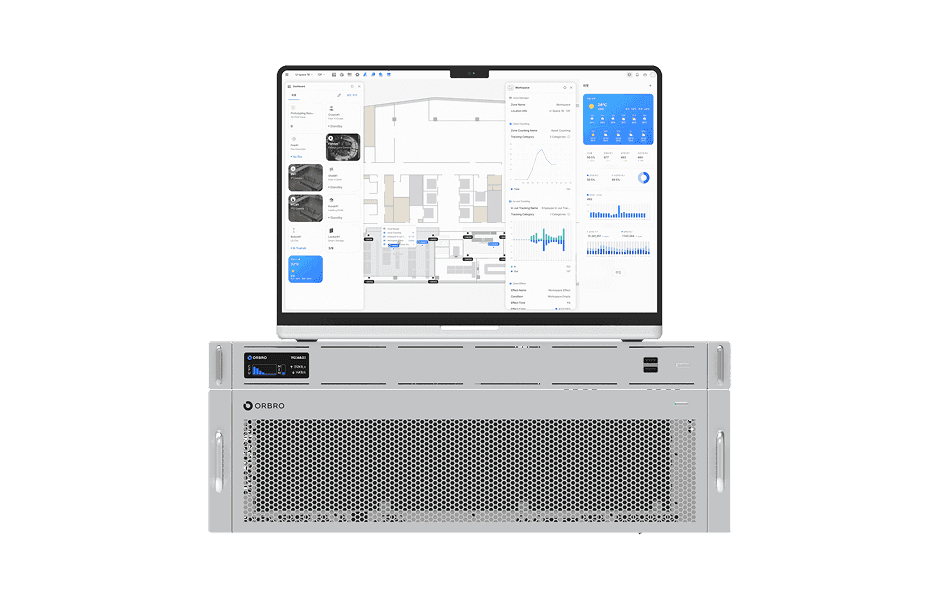
ORBRO OS2
ORBRO OS2
Align location, video, and sensor data on a spatial layer to turn all on-site situations into a single operational workflow.
Learn More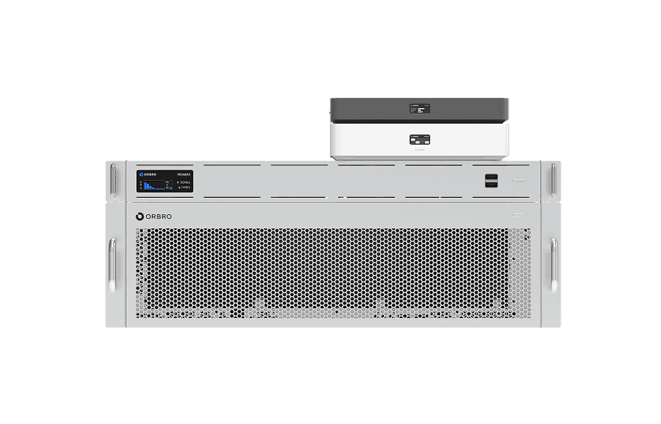
Video-based Location Tracking
Video-based Location Tracking
Analyze camera footage to convert movements of people and vehicles into coordinates, providing map-based real-time tracking along with path and dwell-time analysis.
Learn More