A Robot Knows Where It Is. It Does Not Know Where You Are.
2026-08-11
2026 is being called the first year of physical AI. In the first half alone, cumulative investment raised by robotics companies reached 55.8 billion dollars, close to double the previous full year record, and SoftBank acquired ABB's robotics division for 5.4 billion dollars. Reports keep arriving that humanoids have started entering production lines rather than exhibition halls.
Separately from where the money and attention go, the same phrase recurs at the stage of actual deployment: the gap between the lab and the site. A robot that performed beautifully in the lab behaves differently once it enters a factory.
A good part of that gap is not an algorithm problem. It is a coordinate problem.
A robot knows where it is, and knows it very precisely. What it does not know is where the person walking past it is. More precisely, it knows something is there, but not who it is, why they are there, or what they are about to do.
I. SLAM Is the Robot's Map
Position awareness in autonomous mobile robots is generally based on SLAM (Simultaneous Localization and Mapping). The robot measures its surroundings with lidar or cameras, builds a map, and simultaneously estimates its own position within that map. It is powerful, and it works well indoors without GPS.
It does have two properties worth naming.
First, the map belongs to the robot. Its origin and axes are anchored to the moment the robot first built the map, and it is a different coordinate system from the building drawing. The definition we use on a monitoring screen, "zone A on the third floor", does not exist on the robot's map. When the robot says it is at (12.4, 8.1), which cell of our drawing that lands in is a value you have to align separately to know.
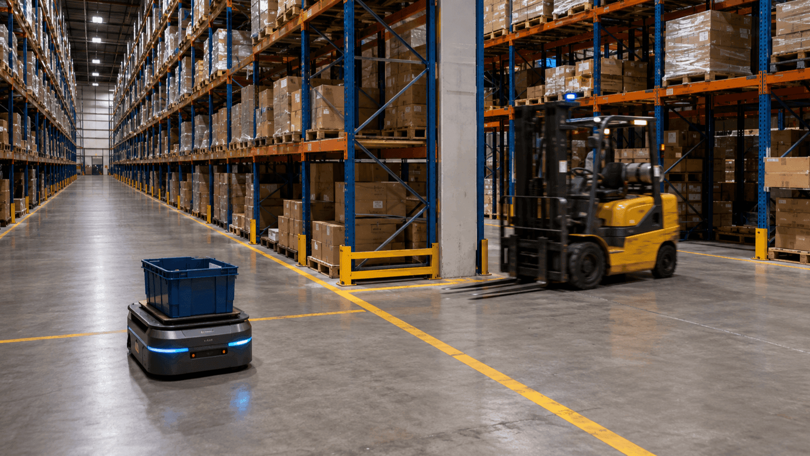
Second, on that map a person is a moving obstacle. Lidar puts people, pallets and forklifts in the same category. It avoids them. It does not judge them. Whether the thing now blocking the way is a worker who came in with maintenance approval, a visitor who took a wrong turn, or simply material left standing, it does not distinguish. It was designed so that it would not need to.
The traditional solution was to divide the space. Put up safety fences, and use light curtains and safety scanners to establish the premise that no person enters within a radius. On processes where the robot only travels a fixed path, this approach works well.
The difficulty is that the robots arriving now do not only travel fixed paths. They move freely around warehouses, travel hospital corridors, and use the same aisles as people. As spaces that cannot be divided by fences multiply, the premise itself stops holding.
II. Putting People into the Same Coordinate System
The direction of the solution is simple. Give people coordinates too.
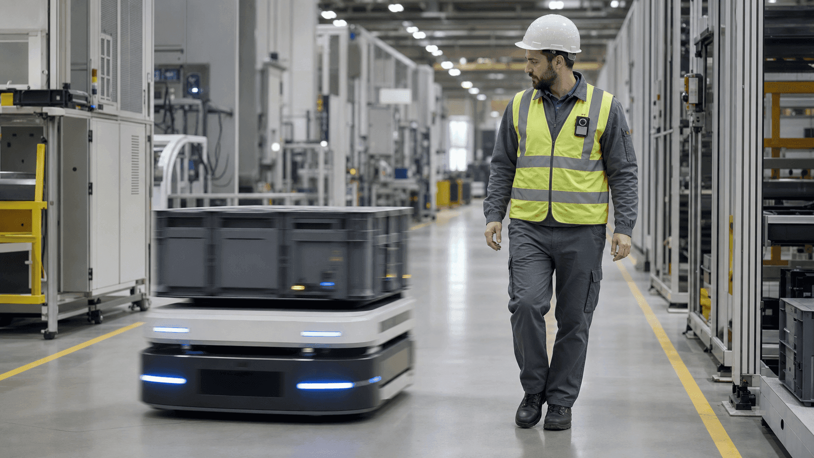
When a person wears a UWB based location tag, they stop being an object that gets detected and become a subject that transmits coordinates. Accuracy is on the order of plus or minus 10 to 30 centimetres by specification and varies with site conditions. What matters is less the absolute value than the character of the information. A camera or lidar telling you "something is there" and a tag telling you "worker ID 47 is here" are different kinds of information. The latter can carry identity, permission and work context.
What comes next is the part that genuinely takes effort: aligning the coordinate systems of the robot's map and the building drawing. Origin, axis direction and scale have to be registered so that the two sets of coordinates can be compared on the same plane. The place a project loses time is usually here rather than in algorithms, because the robot vendor's map, our drawing, and the site's actual dimensions all differ slightly from one another.
Once the coordinate systems align, zone definitions can be shared. ORBRO OS is structured so that you draw zones on a floor plan and attach conditions and actions to those zones. When people and robots use the same zone definitions, you can write a rule such as "while a person is in zone A, robots slow down". Being able to write rules is the decisive part. Until then the robot's judgement and the monitoring system's judgement run in separate worlds.
Where the computation happens has to be settled as well. Location information used for robot control cannot tolerate the delay of a round trip to a monitoring server. ORBRO supports configurations where position computation and event judgement are handled on RTLS Manager, an edge product placed on site, and on the on premise edge server ORBRO Edge Pro. Judgement has to finish inside the site before it can be used for control.
III. Four Things That Become Possible Once Coordinates Merge
1. Control rather than notification. Sending a warning when a person enters a hazard radius and stopping the equipment are on completely different levels. ORBRO has delivered installations at port and shipbuilding sites where worker position is linked to a crane stop signal. The equipment halts before the person registers the danger. The same logic applies to mobile robots. Whether you hang a slowdown, a route change or a full stop on it depends on the process.
2. Separating the traffic. Divide robot paths and people's aisles by space, or divide the same aisle by time. At a university hospital in the metropolitan area, location tracking was linked to autonomous delivery robots so that transport routes are managed not to overlap with patient and visitor routes. Using UWB position alongside the robot's SLAM position stabilises recognition in complicated corridors. It is an approach that made the rules of the space clearer instead of making the robot smarter.
3. Explaining why it stopped. Operate autonomous robots and one question always arrives. Why did this robot stop at three o'clock yesterday? The robot log only says "obstacle detected". When position records for people and assets sit on the same time axis, you can replay what was at that coordinate at that moment. Knowing the cause lets you fix a route or change a stacking rule. Not knowing it means stopping at the same spot every time.
4. Grounds for process design. Finding, in data, the zones where human occupancy time and robot occupancy time overlap gives you grounds for adjusting layout. Heatmaps and dwell time analysis were originally built to look at how people move, but once robots appear on the same drawing they become tools for locating where the two flows collide.
IV. The Things You Cannot Tag
Location tracking alone does not cover everything. The subjects you can attach a tag to are people and managed assets. Materials, stacked goods, an outsider who dropped in briefly, contractor personnel arriving for the first time that day: none of these carry tags.
Video takes that role. ORBRO's video event detection product AI Event Manager judges events such as restricted area entry, collision risk and a person falling from camera footage. The camera reports the presence of untagged subjects, and tags fill the stretches where camera blind spots, lighting or airborne dust make recognition unstable.
When using both together, the important thing is that the data has to sit on the same drawing. In a structure where you watch ten camera panes and one location screen separately, the two pieces of information never merge. Only when they are placed in the same coordinate system does a single sentence form: "an untagged subject has entered zone B, one worker is in that zone, one robot is approaching".
V. Five Things to Check When Reviewing
- Who performs coordinate system alignment, and how. Responsibility for this work is often left empty between the robot vendor and the location tracking vendor. Settle it before contract.
- Update rate and latency. The rate that is sufficient for notification and the rate required for control are different. Decide what it will be used for first, then fix the numbers.
- How robot control is integrated. Whether by signal contact or API, and who holds authority to issue stop and slowdown commands.
- Who owns the stop decision. The robot's own safety functions come first, and location based judgement from a higher system is a layer that supplements them. Do not design a configuration in which the higher system replaces safety functions. Put this distinction in writing early in the review so it does not wobble later.
- The form of the record. Whether you can replay that moment after an incident or a stoppage, and at what granularity it is retained.
Closing
The bottleneck of physical AI is closer to the readiness of the site the robot will enter than to the performance of the robot. Robots already know their own position accurately enough. What is missing is a shared map of the space they will work in, and whether people are on that map.
The moment people have coordinates, robots move from a world of obstacles to avoid into a world of counterparts to work alongside. From then on you can write rules.
ORBRO builds everything from location tags and anchors through edge products that finish judgement on site, up to ORBRO OS, which handles people, assets, robots and video events on one floor plan. If you are about to deploy robots or already operate them, get in touch. Telling us which robots you use and where they overlap with people is enough for us to begin.