Public Sector Solution
Parking Space Occupancy Management
Check occupancy by parking space and review how congested areas are run. A camera layout that uses existing structures cuts the scope of in-ground construction.

Check each parking space for a vehicle from camera video
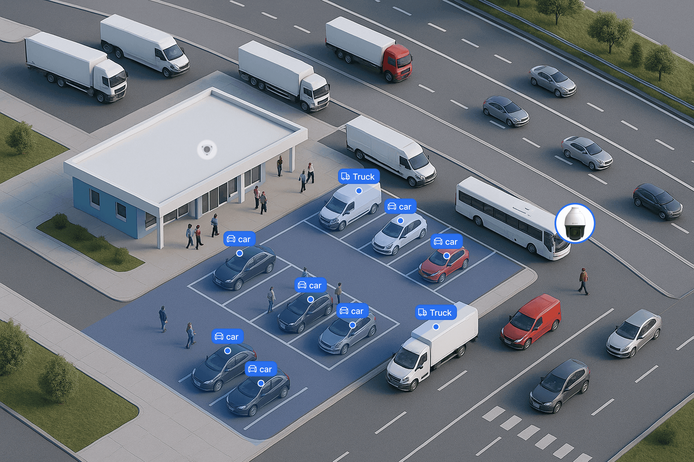
PTZ Cameras mounted on light towers and the tops of pillars cover a wide area with a single unit. The on-site AI Server analyzes each parking space for a vehicle and shows occupancy on the monitoring screen. Night detection range is set to the camera's field of view, resolution and lighting conditions.
PTZ Camera
Mounted on a light tower or the top of a pillar, one unit covers a wide area. Compared with burying a sensor in every parking space, the number of devices and the scope of construction drop sharply, and with no floor work the burden on a parking lot that is still operating stays small. Sections that need a closer look can be zoomed in, and the mounting height and field of view are fixed after an on-site survey.









Parking Space Occupancy Detection
Video determines whether each parking space holds a vehicle and shows occupancy. Long-stay records per vehicle are provided in configurations with continuous tracking and time calculation.
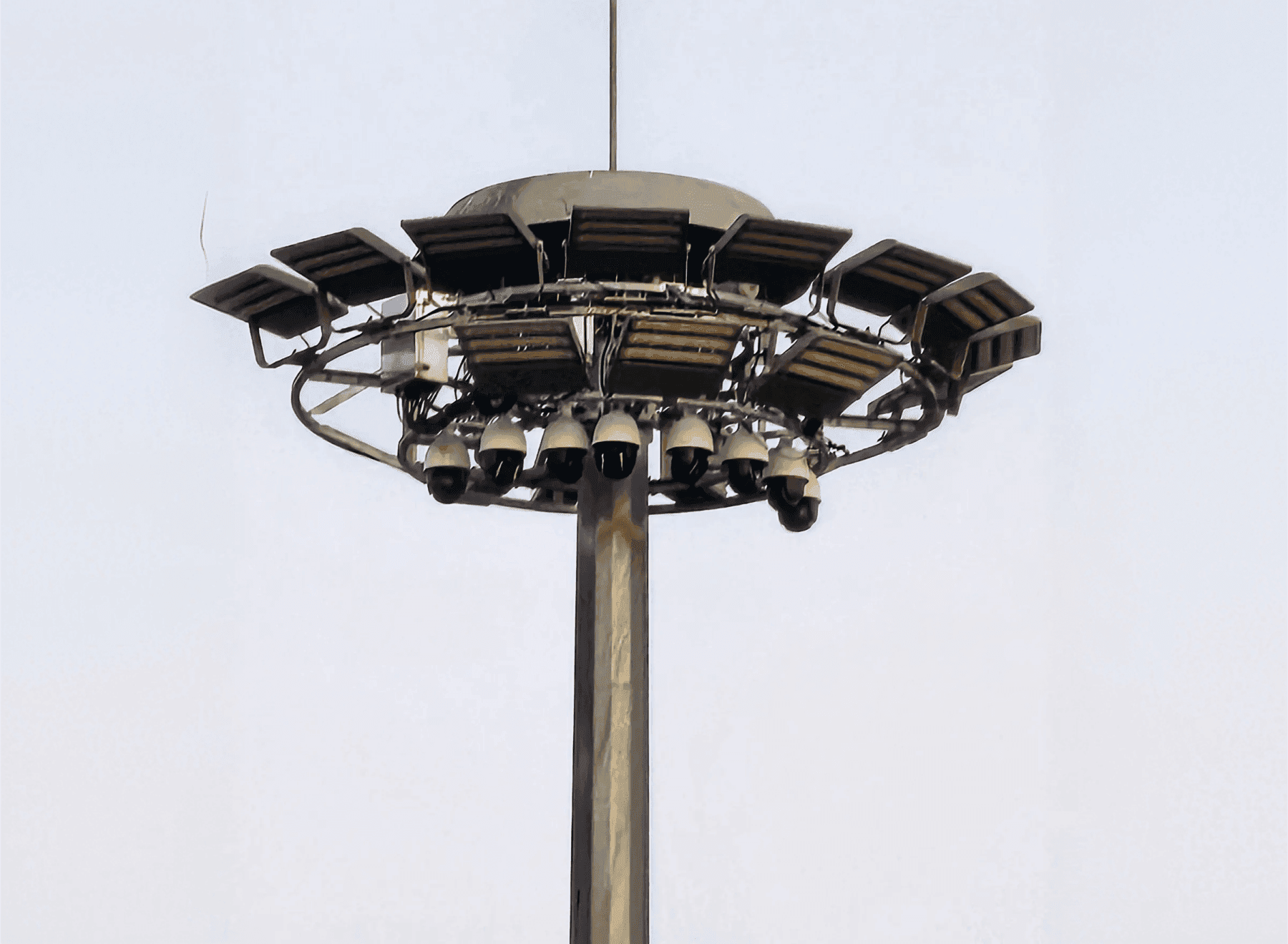
Wide-area coverage from light towers
Grouping PTZ Cameras at the top of a light tower covers the whole parking lot without raising new poles. What operations actually need is which zone is free, not centimeter coordinates, and setting the bar there brings down both the device count and the construction scope. Congested areas are shown in real time and any point can be zoomed in for a closer look.
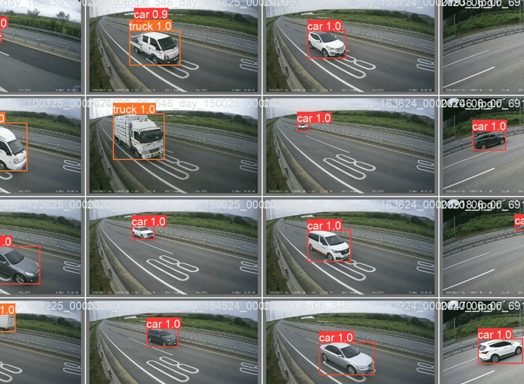
Recognition settings matched to site video conditions
Set recognition zones to the parking lot's lighting, camera height and vehicle entry angles. Decision criteria per bay are adjusted for areas hidden by pillars and parked vehicles. For existing CCTV, the sections to integrate are chosen by the field of view and resolution of each floor's feed.
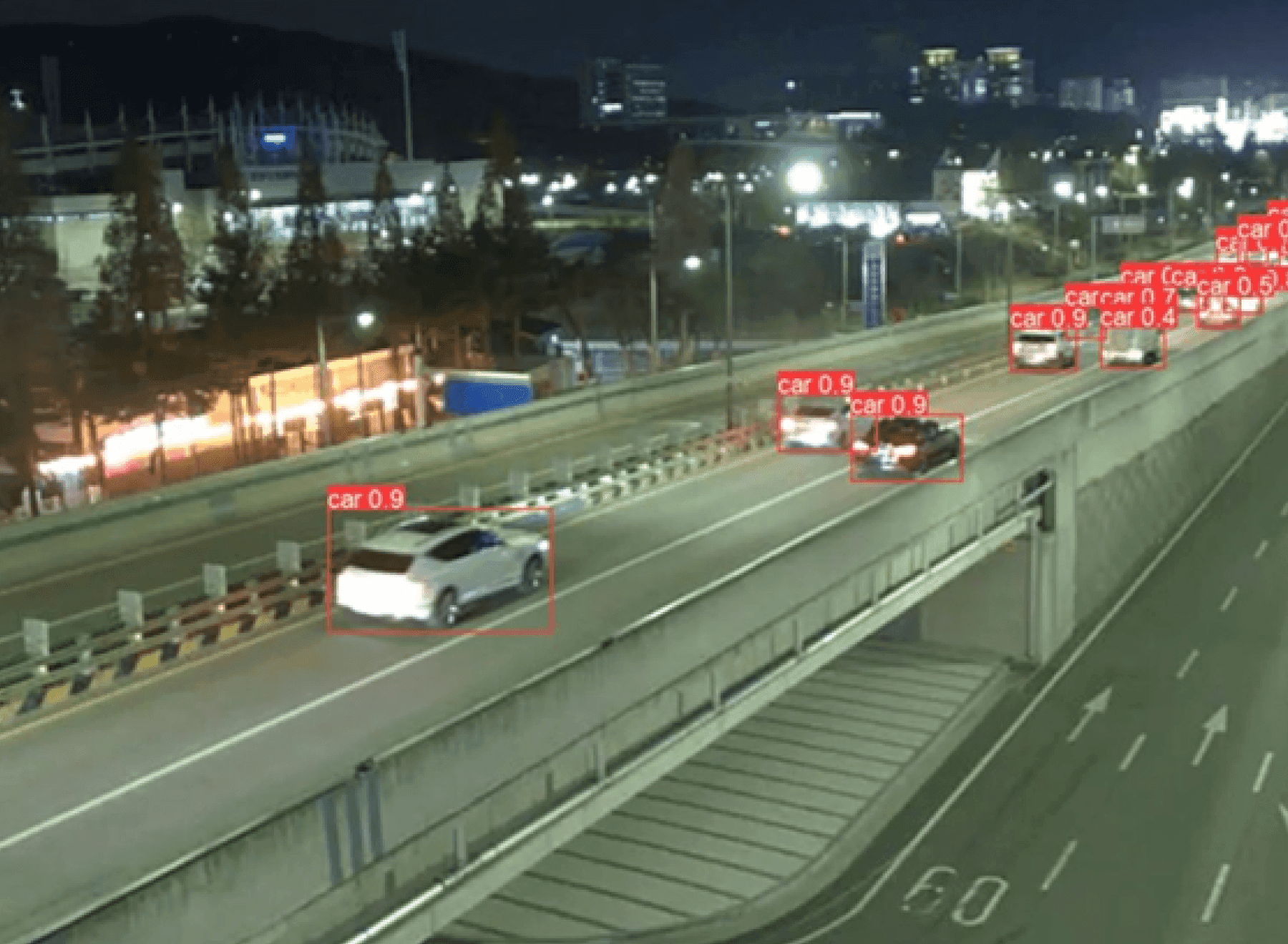
Video analyzed on the on-site server
Parking video is analyzed on the server installed on site, and only the resulting data reaches the monitoring screen. Because license plates and people appear in the same footage, a configuration that sends nothing outside is easier to explain during privacy review. When cameras are added, server capacity is calculated alongside so processing headroom stays.
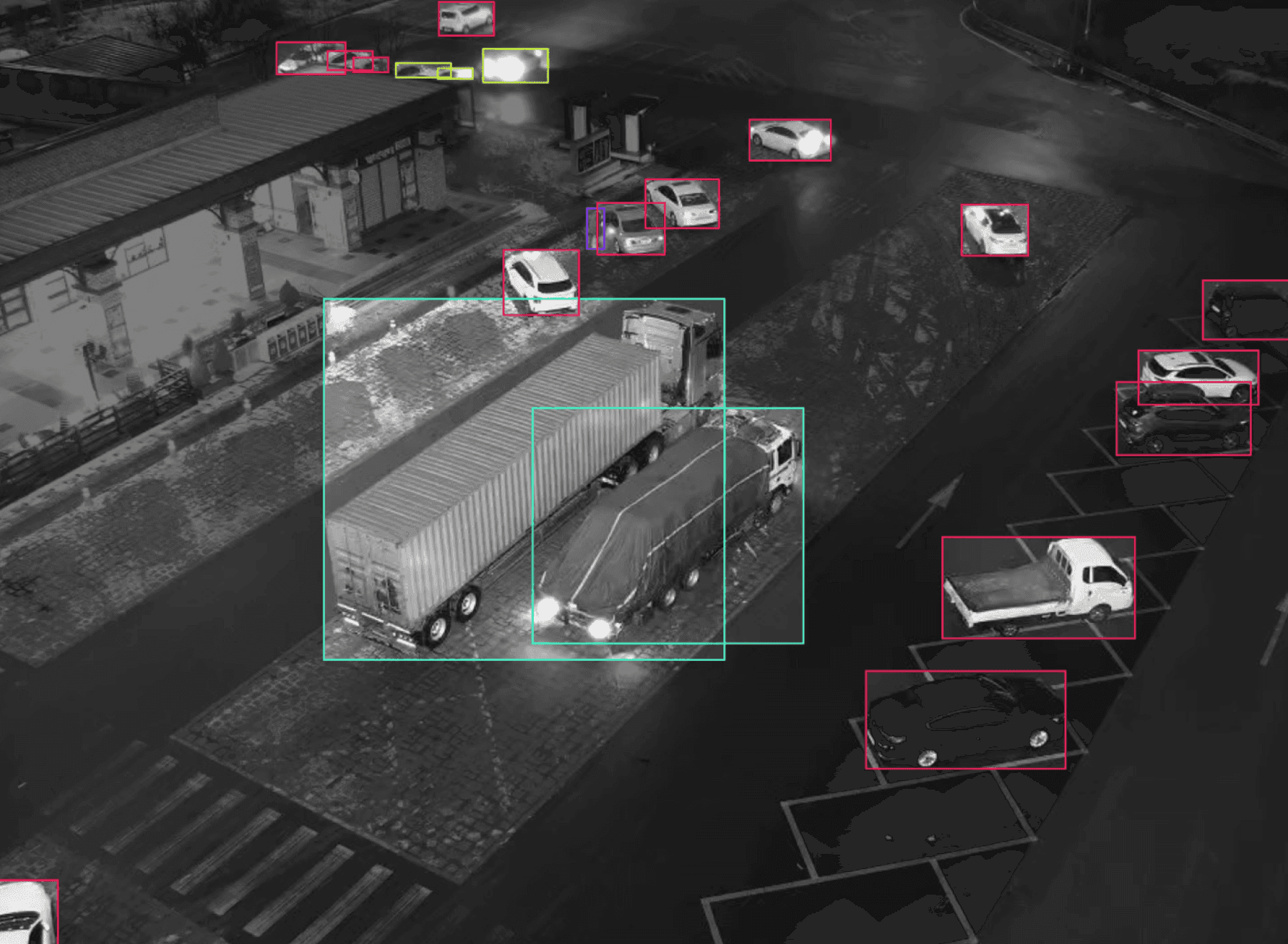
Night and severe weather conditions
Low-light processing and near-infrared capable equipment keep vehicle recognition running in dark hours and through rain or snow. Outdoor lots change greatly with season and weather, so the conditions to be verified are agreed during the review stage. Actual recognition depends on lighting and mounting height, so it is confirmed in a pilot section before being fixed.
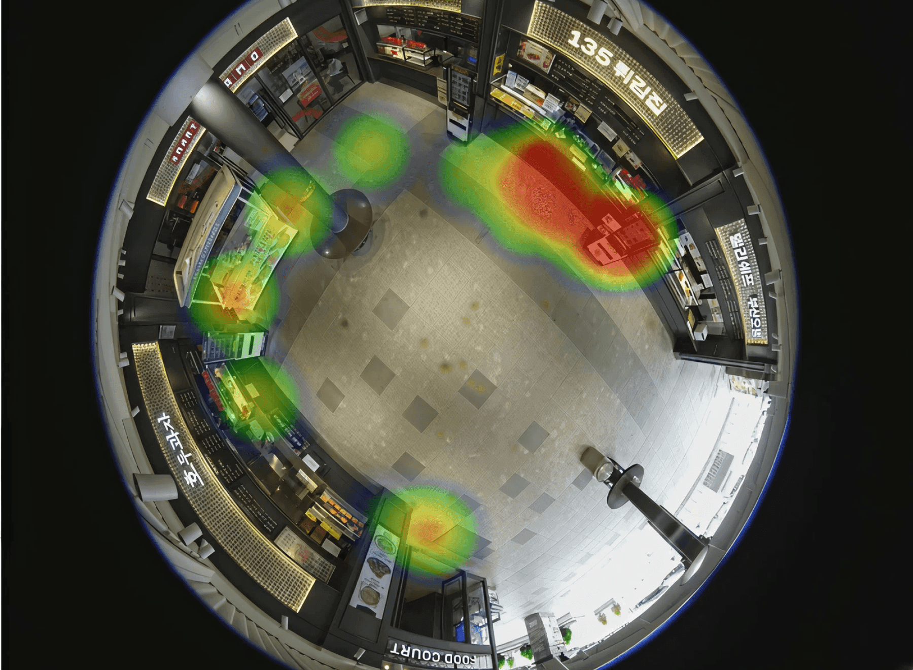
Indoor foot traffic analyzed at the same time
Indoor spaces connected to the parking lot are counted for foot traffic with a Fisheye Camera linked to on-site equipment. It records only the volume per section without identifying individuals, and is used to see how parking areas and indoor use connect. Placing parking use next to indoor use shows which entrance is actually used most.
Parking lot operation history analysis
Vehicle travel direction and entry and exit records feed the review of parking lot operations. In configurations with per-vehicle dwell records, long-stay vehicles to check are reviewed as well.
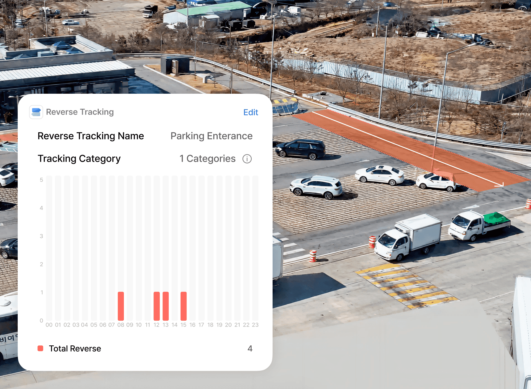
Wrong-way driving and zone violation alerts
Designating sections with a fixed direction of travel, such as an entrance ramp, makes vehicles moving against it count. Direction is set separately for each point and the number of occurrences accumulates by time of day, showing where and when it repeats and giving grounds to move a sign or rework the flow. Alerts reach the monitoring screen and the manager's mobile at the same time.
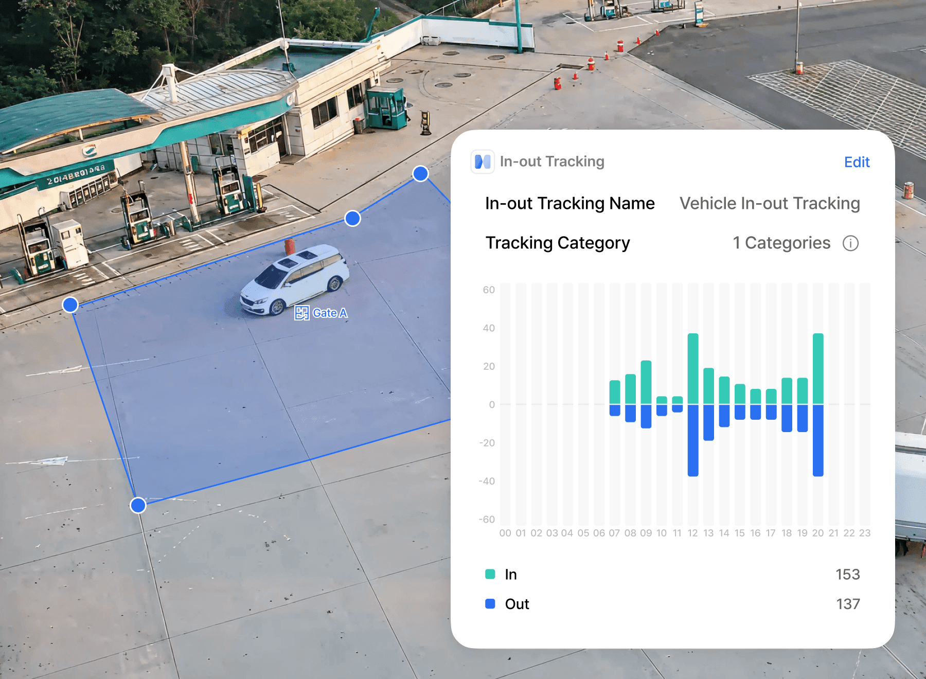
Entry traffic and congestion by time of day
How many vehicles come in and go out is counted by hour and by day of the week. Confirming in numbers when congestion appears gives grounds to adjust operating hours or request facility improvements. Comparing periods shows whether a measure actually changed anything, and the result can be exported as reporting material.
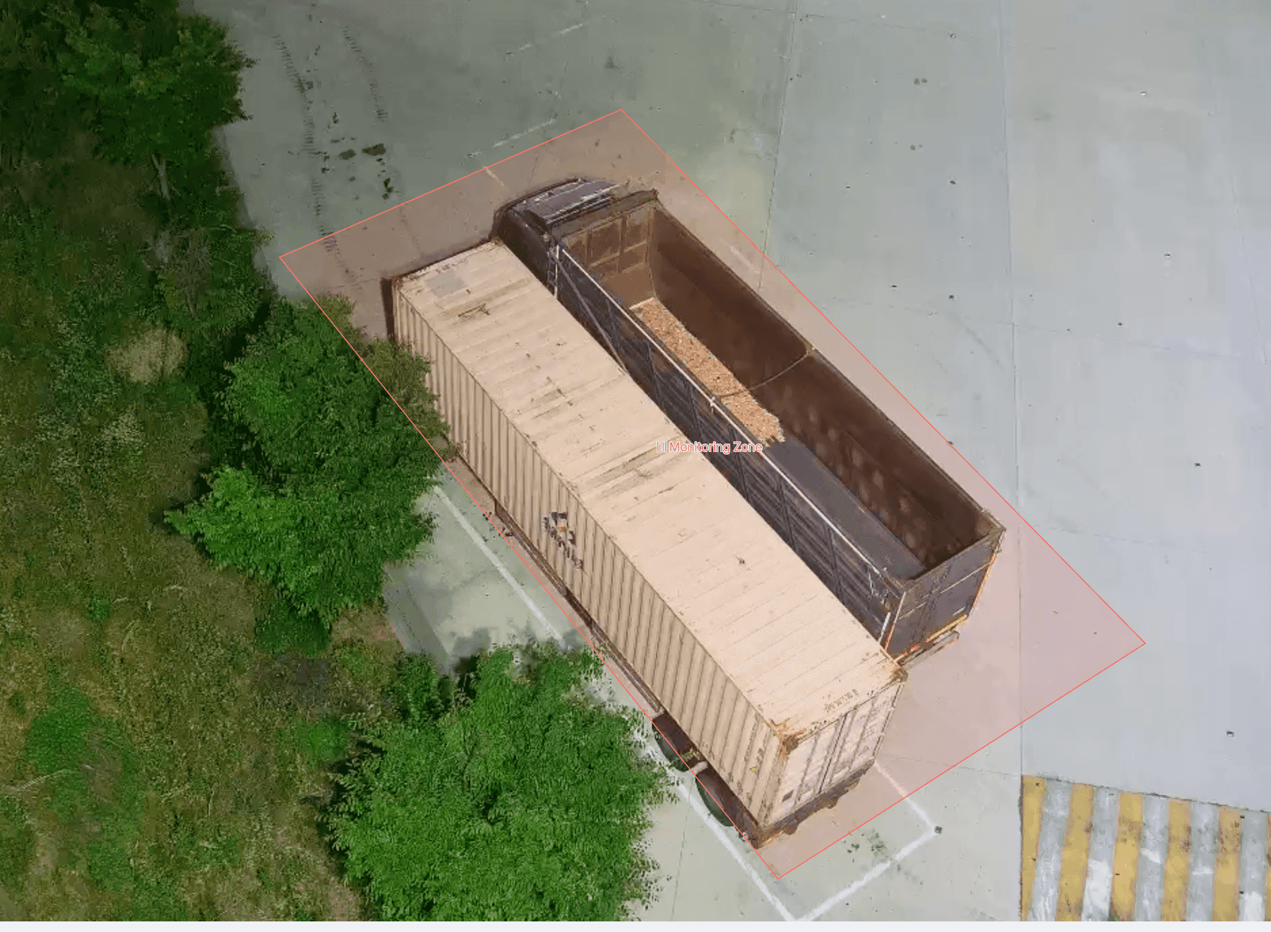
History lookup for long-stay vehicles to check
In configurations with per-vehicle tracking and dwell records, look up long-stay vehicles that need checking. Records beyond the set period are reviewed by first sighting time and elapsed time. Staff combine the observation history with an on-site check to decide follow-up action.
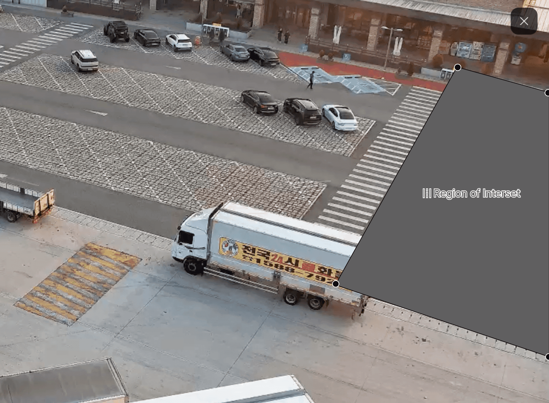
Screen regions and de-identification
Only the screen regions needed for analysis are kept and the rest are excluded from processing. Parking video captures license plates and people together, so being able to state what is watched and what is not is what makes the privacy review explainable. Sensitive areas are de-identified and the original video never leaves the premises.
Recommended Products
Components Based on ORBRO OS
Each solution operates with various products connected on top of ORBRO OS. Configurations can be flexibly adjusted depending on the scope of application and on-site conditions.
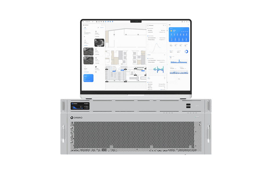
ORBRO OS2
ORBRO OS2
Align location, video, and sensor data on a spatial layer to turn all on-site situations into a single operational workflow.
Learn More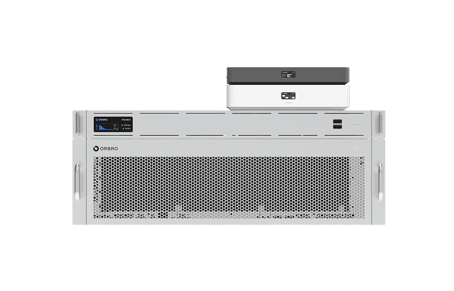
Video-based Location Tracking
Video-based Location Tracking
Analyze camera footage to convert movements of people and vehicles into coordinates, providing map-based real-time tracking along with path and dwell-time analysis.
Learn More