The History of Positioning ① — From Whale Songs to UWB
2026-07-21

Deep beneath the ocean, in darkness no light can reach, a sperm whale finds a school of squid several kilometers away. Not with its eyes — with sound. The history of positioning begins not with humans, but with nature.
"Where am I right now?" For most of history, this question was a matter of survival. A navigator who misread the stars went down with the ship; an army that lost track of its own position lost its way on the battlefield. So for thousands of years, humanity groped for its coordinates by the stars, the compass, and the lighthouse.
What is fascinating is that nature found the most elegant answer to this ancient question first. And over the twentieth century, humanity — through sonar, radar, GPS, and finally UWB — has essentially been reinventing that answer.
This is the first installment of our "History of Positioning" series. Starting from whale songs, we travel past the radar and radio navigation born of war, through the atomic clocks in orbit (the heart of how GPS works), all the way to UWB, today's frontier of indoor positioning — a journey of a hundred years and more.
I. The Answer Nature Found First — The Original Positioning System
A bat flies at full speed through a pitch-black cave without ever hitting a wall. Its secret is ultrasound. It emits a short burst of sound and times how long the echo takes to bounce off an obstacle and return. Since the speed of sound is constant, the round-trip time gives the distance. And from the tiny difference in when the echo reaches its left ear versus its right, it reads direction as well. This is echolocation.
Dolphins and whales use the same principle. Underwater, light is absorbed within meters, but sound travels far faster and farther than it does in air. Whales exploit this to hunt in the dark, keep track of one another, and migrate across thousands of kilometers.
Here, the core principle that runs through the entire history of positioning makes its first appearance. Send a signal, and measure how long it takes to return or arrive. Time gives you distance, and distance gives you position. Every technology that follows — sonar, radar, GPS, UWB — is a variation on this single sentence.
II. Humans Go to Sea — Sonar
What pushed humans to seriously imitate this principle was a tragedy. When the Titanic struck an iceberg and sank in the early twentieth century, the question "can't we detect obstacles underwater in advance?" became urgent. Soon the First World War broke out, and with the submarine came an invisible threat — the question became a matter of national survival.
The answer was exactly the whale's method: fire an ultrasonic pulse into the water and listen for the echo reflected off the target. Multiply the round-trip time by the speed of sound in water, divide by two, and you have the distance to the target. The technology that emerged from this is SONAR. An algorithm refined by hundreds of millions of years of evolution, transplanted by humans into electronic hardware.
III. Radio Waves and War — From Radar to Navigation
If sound is the language of water, radio was the language of the sky. Around the Second World War, radar entered service — firing radio waves and measuring the round-trip time of signals reflected off aircraft to determine distance. The principle is the same as sonar's; only the medium and the signal changed. The ability to "hear" bombers in the night sky before they arrived changed the course of the war.
The same period produced another leap. Where radar asks "where is the other party?", radio navigation asks "where am I?" Systems like LORAN measured the difference in arrival times of signals sent from multiple transmitting stations along the coast. If you know the difference in arrival time between stations A and B, your possible position narrows down to a single curve. Draw another curve using a different pair of stations, and the intersection of the two curves is your position.
Here, the second key concept of positioning takes root. Trilateration — measure your distances to several reference points whose positions are known, and you can compute your own position. The reference points would change from lighthouses to radio towers and soon to satellites, but the mathematics never changed.
IV. Clocks in the Sky — How GPS Works
When the Sputnik satellite reached orbit in the late 1950s, scientists on the ground discovered they could calculate its orbit simply by observing the Doppler shift of its radio signal — the frequency rising as it approached and falling as it receded. Then someone flipped the question: "If we already know a satellite's orbit, couldn't we work backwards from its signal to calculate our own position on the ground?"
Decades later, that idea was completed as the U.S. Department of Defense's GPS. GPS satellites continuously broadcast signals carrying their orbital data and precise timestamps stamped by atomic clocks. A receiver takes the difference between when a signal left the satellite and when it arrived — the time of arrival — multiplies it by the speed of light, and obtains its distance to each satellite. Know your distances to several satellites and — here comes the familiar word again — trilateration yields your position. The whale's old trick of "measuring time," this time paired with atomic clocks 20,000 kilometers overhead.
Born as a military technology, GPS was opened to civilian use and changed the world. Smartphone navigation, ride-hailing apps, the blue dot on the map — for the first time in human history, knowing your position came to feel like it was free.
V. The Last Puzzle — Indoor Positioning and UWB
But a gaping hole remains in this story. GPS radio waves do not pass well through concrete and steel. The moment you step inside a building, the signal weakens sharply and the blue dot on the map loses its way. The problem is that indoors is precisely where modern people spend most of the day. Factories, logistics centers, hospitals, offices — the very spaces where people and assets move at the highest density were positioning's blind spot.
The first attempts recycled signals that were already in place: estimating distance from the strength (RSSI) of WiFi or BLE (Bluetooth) signals. But signal strength wavers with every wall, every person, every shelf — even a passing forklift. The error runs to several meters: enough to know "somewhere on this floor," but not "in front of which rack."
So we return, once again, to time. UWB (Ultra-Wideband) fires extremely short radio pulses on the order of nanoseconds and directly measures their time of flight (ToF). Because it measures not how strong the signal is but how quickly it arrived, it is far more resistant to interference, and its accuracy reaches the tens-of-centimeters range — better resolution indoors than GPS achieves outdoors. With the same "measure the time" method bats and whales have used for hundreds of millions of years, the history of positioning has come full circle.
Here it is, organized by era.
| Era | Technology | Medium/Signal | Principle | Accuracy (approx.) |
|---|---|---|---|---|
| Hundreds of millions of years ago | Echolocation (bats, whales) | Sound (ultrasound) | Round-trip time of echoes | Good enough to hunt |
| Early 20th century | Sonar | Underwater sound waves | Round-trip time of echoes | Tens of meters |
| Around WWII | Radar, LORAN | Radio waves | Round-trip time / time difference of arrival (trilateration) | Hundreds of meters to km |
| 1970s onward | GPS | Satellite radio signals | Time of arrival from atomic clocks (trilateration) | A few meters (outdoors) |
| Today | UWB indoor positioning | Ultra-wideband pulses | Time of flight (ToF) | Tens of centimeters (indoors) |
Closing
The history of positioning has been, in the end, the story of a single question — "where am I?" — with the reference points moving from the sea to the sky, and from the sky to space. And its final chapter is being written right now, indoors. Knowing in real time where the forklifts in a factory, the medical equipment in a hospital, and the pallets in a logistics center are — that is RTLS (Real-Time Location System).
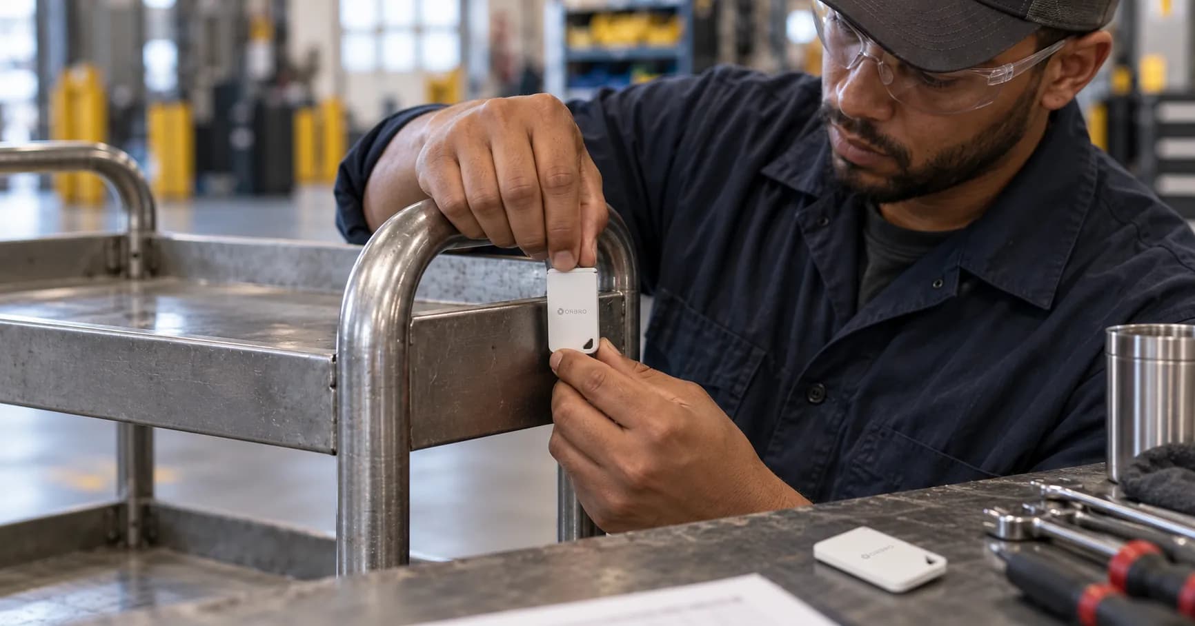
ORBRO stands at the front line of this final chapter. From UWB and BLE tag hardware to the collection infrastructure and a monitoring platform that puts location data at a glance — ORBRO delivers the entire indoor positioning stack as a single product family. You can learn more at ORBRO RTLS.
In the next installment, we dissect this world of indoor positioning in earnest. UWB, BLE, WiFi, and vision — how each technology computes position, and how the contest is decided on accuracy, cost, and installation complexity: a head-to-head showdown between the technologies.
Recommended Blogs

The RTLS Pilot Worked. Is Every Shift Ready to Use It?
2026-10-20
Right Coordinates, Wrong Floor? Validating Multi-Floor RTLS
2026-10-19

Returned but Not Ready: Tracking Returnable Container Recovery
2026-10-16
Replacing an RTLS Tag Without Losing the Asset's History
2026-10-15