도입이 처음이신가요?
ORBRO 전문가가 직접 상황을 분석하고
최적의 솔루션을 제안해드립니다.
See the status of all city infrastructure at a glance with digital-twin technology.
Leverage digital-twin technology to integrate and visualize the status and operational data of key city infrastructure in real time, enabling systematic and efficient management.


Check and manage city infrastructure in real time with a digital twin.
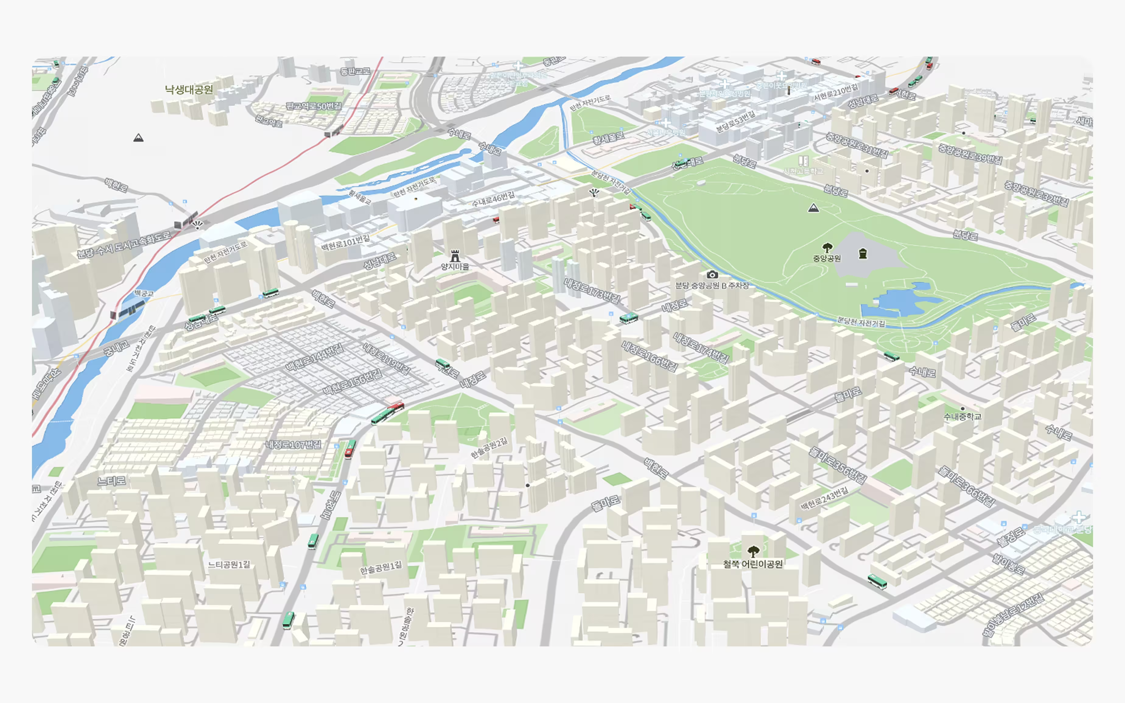
Real-time 3D visualization
Accurately model city buildings and internal facilities in 3D so you can intuitively view live information, grasp operational status quickly, and run everything more efficiently.
Live weather and air-quality integration
Sync real-world weather data—rain, snow and more—directly into the system in real time to provide an immersive, precise operating environment.
Real-time building information
Monitor facility status and maintenance schedules in real time, and predict equipment failures and energy use with sensor data to support efficient, eco-friendly operations.
Live indoor-map rendering
Reflect the positions of indoor assets and people in real time, accurately capturing foot-traffic flows and security conditions to support rapid operations and response.
Integrate movement and safety data city-wide for efficient operations.
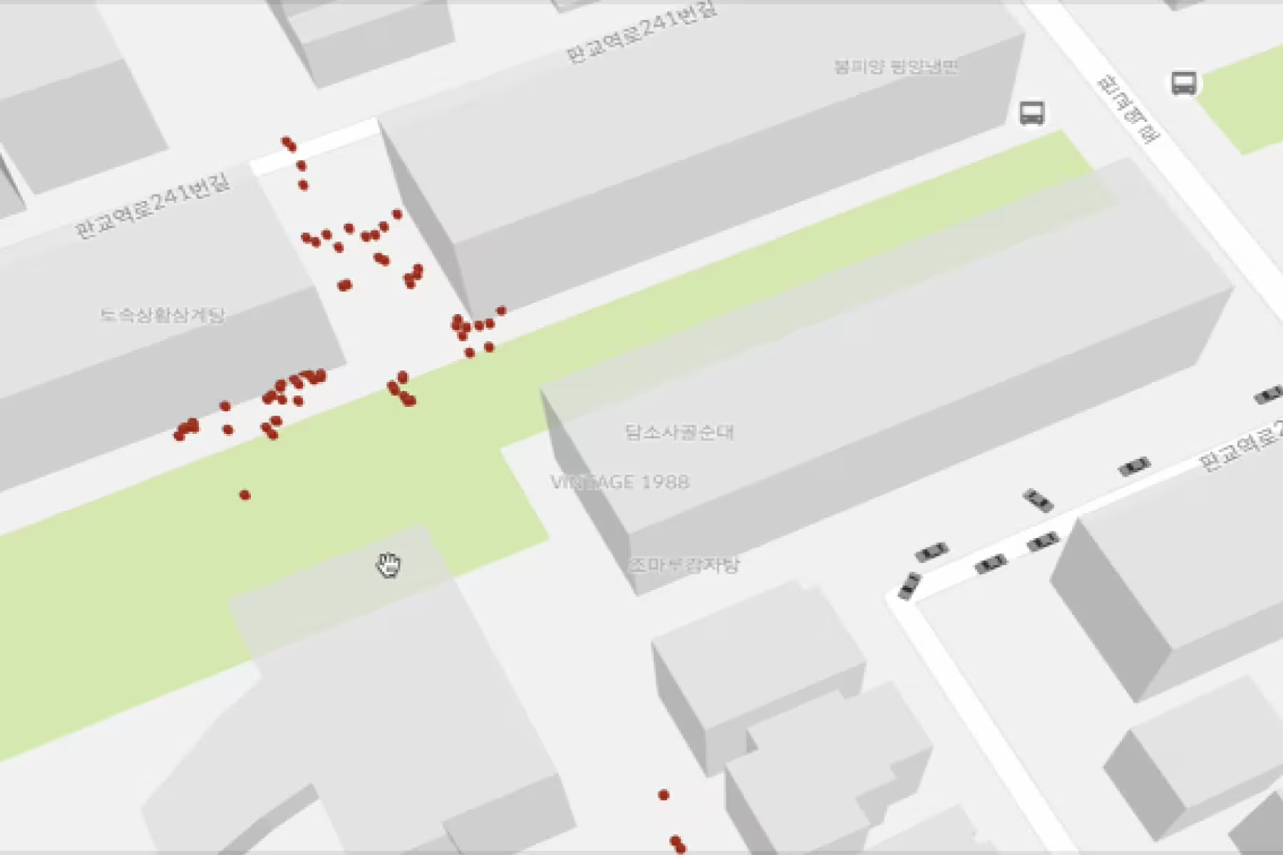
Live people & vehicle movement management
Analyze vehicle and pedestrian movement in real time to prevent congestion and respond instantly to safety incidents—empowering swift, precise city operations.

Real-time public-transport integration
Provide live bus and subway operations to suggest optimal routes and minimize congestion, dramatically improving traffic efficiency.
Live flight-status connection
Link real-time flight information to instantly notify delays or changes, smoothing travel flows and boosting operational efficiency.
Real-time CCTV monitoring & management
Connect city CCTV feeds in real time to detect anomalies immediately, preventing crime and managing traffic swiftly for safer cities.
Key Features Overview

3D rendering and monitoring of city facilities in real time

Real-world weather data synced to the system in real time

Real-time monitoring of building status and energy use

Real-time mapping of indoor assets and people

Real-time analysis of vehicle and pedestrian movement

Live positioning for buses, subways and more

Real-time flight-status data linked to the system

Real-time CCTV analysis to keep the city safe

Efficient spatial-data management via GIS integration

Flexible integration of diverse data sources


